Introduction
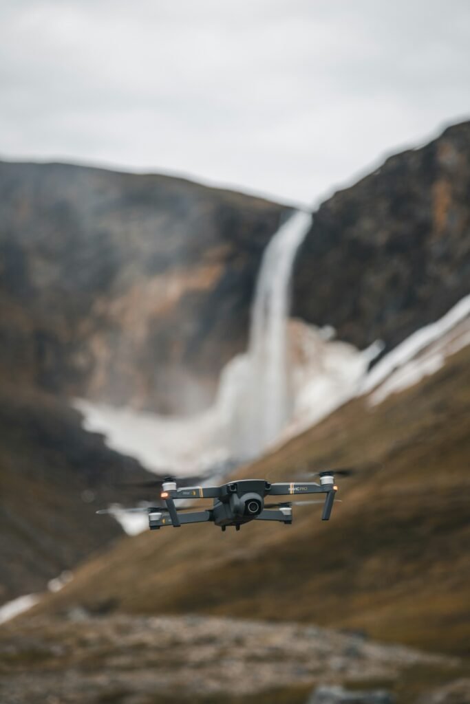
As Canada further develops its mining industry, advanced drone mapping tools are vital. Discussed below are some of the leading drone mapping tools and software, based on industry adoption, used in the Canadian mining sector today. These are often used for terrain surveying, 3D modeling, stockpiling volumetrics, environmental monitoring, and exploration of open-pit or underground operations. Many are adaptable to precious metals such as gold and critical minerals.
Leading Industries in Canadian Drone Mapping Tools
Pix4D (including PIX4Dmatic) : this photogrammetry software that processes drone-captured images into high-resolution orthomosaics, 3D models and maps. It is used for detecting and monitoring mining sites, such as identifying environmental impacts from gold ming activities through detailed visual analysis of deforestation, pits and surface disruptions. It’s compatible with drones such as the Wingtra One.
Source: Pix4D.com
Drone Deploy: a unified reality capture platform for drone mapping, offering AI-powered analytics, 3D modeling, and site documentation. With over 500 companies using it globally, it is used for mining and fleet management, surveying, and data processing.
Source: dronedeploy.com
Propeller Aero: this company specializes in survey-grade drone mapping and 3D analytics for earthworks and mining teams. It allows for precise measurements of stockpiles, haul roads, and site changes, ideal for rugged terrains
Source: propelleraero.com
DJI Terra: provi8des 3D modeling mapping software designed for DJI drones, featuring image stitching, terrain mapping, and reconstruction technologies. It is commonly used in Canadian mining for aerial surveying and estimation.
Source: enterprisedji.com
UgCS by SPH Engineering: flight planning software for drone missions in mining, integrated with sensors such as LiDAR, GPR, and magnometers for exploration, subsurface mapping, and stockpile quantification. It is used in Canadian surveying projects and effective for critical mineral detection.
Source: sphengineering.com
Emesent Hovermap: a SLAM=based LiDAR system for autonomous mapping in GPS-denied environments, such as underground mines. It is deployed in northern Canadian mines (i.e. Nunavut) for quick, safe mapping of gold and silver operations, and used for enhancing safety at Agnico Eagle’s mine sites.
Source: famonaut.com
ROCK Ultra Drone LiDAR: a high-precision LiDAR system designed for large-scale open-pit mapping, capturing survey-grade data from elevations up to 400 ft. It’s been used to map one of Canada’s largest open-pit copper mines (British Columbia), supporting volumetrics, stockpile management, and monitoring for critical minerals such as copper.
Source: rockrobotic.com
Kespry Cloud: an artificial intelligence platform for automated stockpile measurements, asset inspections, and change detection in mining. It’s suitable for Canadian mining sites, providing analytics for efficiency and compliance.
Source: farmonaut.com
Additional:
The tools discussed above are often integrated with hardware from providers such as Candrone (a Canadian drone solutions company offering LiDAR and multispectral sensors for mining) or drones such as DJI models and Wingtra One. (Candrone.com) The selection type depends on factors such as site type (open-pit vs. underground), mineral focus, and integration needs.
Summary:
Drone mapping tools are essential for Canada to further advance its mining industries. As it is already a global leader in gold mining, Canada has similar aspirations for its mining of critical minerals. Further development of drone tools and software will assist the nation in achieving success.
Gold Proficiency
Disclaimer: This summary is based on publicly available information from various companies. It is provided for educational and informational purposes only. Though it has been taken to ensure accuracy, we make no representations or warranties of the reliability of the information. Forward-looking statements, projections and estimates are subject to risks as outlined in the original company disclosures. Readers should consult official texts for full context. Nothing in the articles constitute forecasting, investment or financial advice. Please seek guidance from a qualified professional before making any investment decisions.